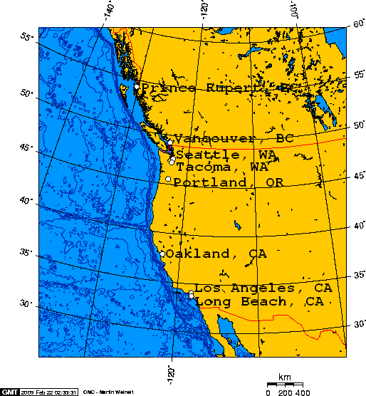
File:Deep-water ports on North America's west coast, connected to the rail grid.png
Jump to navigation
Jump to search
No higher resolution available.
Deep-water_ports_on_North_America's_west_coast,_connected_to_the_rail_grid.png (514 × 556 pixels, file size: 38 KB, MIME type: image/png)
Summary
| Title / Description
|
Deep-water ports on North America's west coast, connected to the rail grid. |
|---|---|
| Author(s)
|
George Swan |
| Copyright holder
|
Please edit this page and add the name of the copyright holder, or note why this is not applicable. |
| Source
|
Please edit this page and add the source of this media, or note that it is unknown. |
| Date created
|
01:21, 22 February 2009 (UTC) |
| Country of first publication
|
Please edit this page and add the country of first publication, or note that it is unknown. |
| Notes
|
Created using this online map creation tool. |
| Other versions
|
If there are other versions of this media on CZ, please list them here. |
| Using this image on CZ
|
Copy the code below to add this image to a Citizendium article, changing the size, alignment, and caption as necessary.
|
Image issue? Contact us via the email below.
Please send email to manager A T citizendium.org .
Licensing/Copyright status
File history
Click on a date/time to view the file as it appeared at that time.
| Date/Time | Thumbnail | Dimensions | User | Comment | |
|---|---|---|---|---|---|
| current | 19:51, 11 March 2022 | | 514 × 556 (38 KB) | Maintenance script (talk | contribs) | == Summary == Importing file |
You cannot overwrite this file.
File usage
The following 2 files are duplicates of this file (more details):
- File:Deep-water ports on North America's west coast, connected to the rail grid.png from a shared repository
- File:Deep-water ports on North America's west coast, connected to the rail grid.png from Wikimedia Commons
The following page uses this file: