Aralsk
Aralsk (Kazakh: Арал = Aral, Russian: Аральск = Aral'sk) 46°47′N, 61°40′E is a small city in Kazakhstan.
Arask Railway Station is the main Northern gateway to the Aral Ecological Disaster Zone.
There are serious health problems for tourists and the local population, caused by airborne toxic chemicals exposed to the wind by the retreating waters, and from the physical and biological agents.
February, 1956: Aralsk ground-level atomic explosion
1957-1991: Open-air testing of biological weapons
Population:
(1960) > 100,000 (including tourist)
(2007) < 40,000.
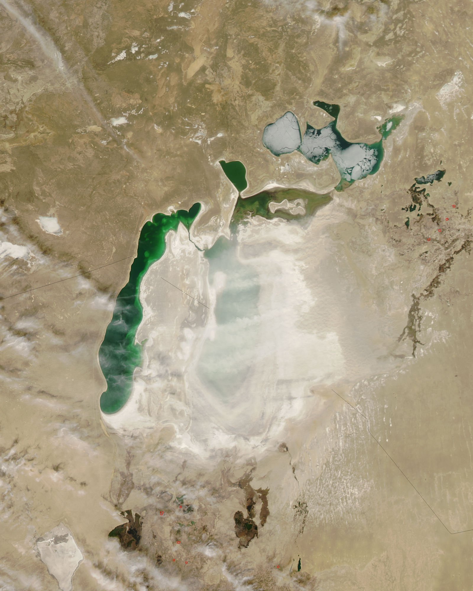
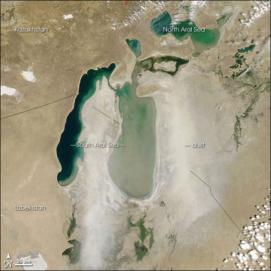
Since the retreat of the Aral Sea, after diversion of the river's inflow, Aralsk has become completely landlocked. In 1980 the sea could be seen from the town.
Aralsk was formerly a fishing port of the Aral Sea, and was a major supplier of fish to the neighboring region. Like the town of Moynaq to the south of the sea, it now has discarded rusting fishing boats sitting on what used to be the seabed.
Visitors are advised not to eat the fish that come from the contaminated lakes, ponds and salt pans, which are poisonous. They are also advised to bring with them all water needed for personal use, and not to depend on masks or air filters.
Tourists are advised to leave Aralsk as soon as possible, before any wind, gale or dust devils start.
External links
- WEATHER TODAY and forecast: [1]
- Погода в г. Аральск: [2]
- Climate and views today. Do not use any maps from this site. For this region they always were "secret", mainly because of their poor quality. The main source of data = satellite pictures. [3]
- Aral Ecological Disaster Zone.[4]
- Aral intercontinental disaster zone.[5]
- Open-air testing of biological weapons. [6]
- CHEMICAL AND RADIATION EFFECTS ON CHILDREN IN ARAL.[7] [8]
- Aral 2007.Google Maps are COMPOSITIONs and could be 5 years old.[9]
- Aral 2008.Do not use satellite pictures, published or damped on Internet. see: http://glovis.usgs.gov/[10]
- Aral 2009.Only satellite data < 1year old are of some value. See: [11]
Aral-dust-storm2006-6-13.jpg
 Aral_dust-storm-2008-april-1.jpg
