User:George Swan: Difference between revisions
imported>Chunbum Park m (oops not discussion page) |
imported>George Swan (→Maps) |
||
| Line 22: | Line 22: | ||
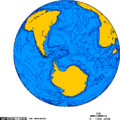
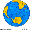
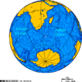
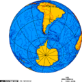
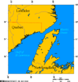
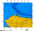
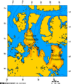
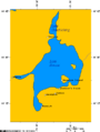
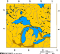
I have created [[User:George Swan/my maps|one hundred or so maps]], all using [http://www.aquarius.geomar.de/omc/ a free online map-making tool] Other people make much better maps than mine. I'd be happy to get pointers. But for freely distributable maps that can be created very easily, this tool can't be beat. | I have created [[User:George Swan/my maps|one hundred or so maps]], all using [http://www.aquarius.geomar.de/omc/ a free online map-making tool] Other people make much better maps than mine. I'd be happy to get pointers. But for freely distributable maps that can be created very easily, this tool can't be beat. | ||
<gallery> | |||
Image:Ports Colbourne Dalhousie, Weller, Maitland.PNG | |||
Image:Jan Mayen orthographic.png | |||
Image:Polar siberia.png | |||
Image:Orthographic projection over Vladisvostok.png | |||
Image:Orthographic projection over Svalbard.png | |||
Image:Orthographic projection over Qaanaag.png | |||
Image:Orthographic projection over Labrador City.png | |||
Image:Orthographic projection over Grise Fjord.png | |||
Image:Orthographic projection over Bathurst Inlet, Nunavut.png | |||
Image:Orthographic projection centred over sisimiut.png | |||
Image:Orthographic projection centred over Nakhodka.png | |||
Image:Orthographic projection centred over Magadan.png | |||
Image:Orthographic projection centred over Churchill, Manitoba, Canada.png | |||
Image:Orthographic projection centred over Bremen and the Weser watershed.png | |||
Image:Orthographic projection centred on the Avalon Peninsula.png | |||
Image:Orthographic projection centered over Iqaluit.png | |||
Image:Orthographic projection centered over Iqaluit with latitude and longitude.png | |||
Image:North pole september ice-pack 1978-2002.png | |||
Image:North pole february ice-pack 1978-2002.png | |||
Image:Orthographic projection over Tobago - with Galveston - New Orleans - St Helena.png | |||
Image:Orthographic projection over Palmyra Atoll.png | |||
Image:Orthographic projection over Kingman Reef.png | |||
Image:Orthographic projection over Jarvis Island.png | |||
Image:Orthographic projection over Diego Garcia.png | |||
Image:GPLed Grand River.png | |||
Image:Thunder Bay Ontario.png | |||
Image:Wawa Ontario.png | |||
Image:Walpole island ontario.png | |||
Image:Tiksi - Siberia - Laptev Sea.png | |||
Image:Polar siberia 4.png | |||
Image:Dudinka and dikson 2.png | |||
Image:Arctic Ocean Seaports.png|Image:Arctic Ocean Seaports.png | |||
Image:Orthographic projection centred over the Galapagos.png | |||
Image:Orthographic projection centred over midway.png | |||
Image:Orthographic projection centred over St Peter and St Paul Rocks.png|Image:Orthographic projection centred over St Peter and St Paul Rocks.png | |||
Image:Orthographic projection centred over Pitcairn Island.png|Image:Orthographic projection centred over Pitcairn Island.png | |||
Image:Orthographic projection centred over Juan Fernandez.png|Image:Orthographic projection centred over Juan Fernandez.png | |||
Image:Orthographic projection centred over Ile Amsterdam.png|Image:Orthographic projection centred over Ile Amsterdam.png | |||
Image:Orthographic projection centred over Fernando de Noronha.png|Image:Orthographic projection centred over Fernando de Noronha.png | |||
Image:Orthographic projection centred over Easter Island.png|Image:Orthographic projection centred over Easter Island.pn | |||
Image:Indian Ocean.png|Image:Indian Ocean.png | |||
Image:Orthographic projection over the larsen b ice shelf.png | |||
Image:Orthographic projection over the Heard Islands.png | |||
Image:Orthographic projection over Raoul Island.png | |||
Image:Orthographic projection over Gough Island.png | |||
Image:Orthographic projection centred over the Bounty Islands.png | |||
Image:Orthographic projection centred over Wallis and Futuna Islands.png | |||
Image:Orthographic projection centred over South Georgia Island.png | |||
Image:Orthographic projection centred over Ross Island.png | |||
Image:Orthographic projection centred over King George Island.png | |||
Image:Orthographic projection centred over Kerguelen Island.png | |||
Image:Orthographic projection centred on the South Sandwich Islands.png | |||
Image:Orthographic projection centered over Bouvet Island.png | |||
Image:Orthographic projection centered on the Prince Edward Islands.png | |||
Image:Drake Passage - Orthographic projection.png | |||
Image:Avalon peninsula - Newfoundland.png | |||
Image:Cape breton island.png | |||
Image:Churchill river newfoundland and churchill falls.PNG | |||
Image:Marine Atlantic ferry ports.png | |||
Image:Strait of belle isle.png | |||
Image:Alaska north shore.png | |||
Image:Boothia and melville peninsula 1.PNG | |||
Image:Communities where Inuinnaqtun is spoken.png | |||
Image:Great Bear Lake.png | |||
Image:Great Slave Lake and Lake Athabasca 6.png | |||
Image:Lake Athabasca.png | |||
Image:Lambert Projection of Western Nunavut.png | |||
Image:Lambert Projection showing Bathurst Inlet, Nunavut, and environs.png | |||
Image:Lambert Projection showing the Diavik Diamond Mine, near Barthurst Inlet, Nunavut.png | |||
Image:Lambert Projection showing the Ekati and Diavik Diamond Mine, near Barthurst Inlet, Nunavut.png | |||
Image:Vancouver-island-lambert-azimuthal.png | |||
Image:Vancouver-island-lambert-azimuthal.png | |||
Image:Watershed of the Saskatchewan River.png | |||
Image:Yukon - Kluane Park and Alaska Highway area.png | |||
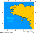
Image:Brittany - France.png | |||
Image:Elbe watershed.png | |||
Image:Jutland peninsula.png | |||
Image:Map of cuxhaven hamburg lauenburg lubeck.png | |||
Image:Neckar river watershed.png | |||
Image:Rhine river.PNG | |||
Image:Weser watershed.png | |||
Image:Yenisei basin 7.png | |||
Image:Lake Simcoe Ontario.png | |||
Image:Approximate area of the Niagara Escarpment 2.PNG | |||
</gallery> | |||
====Images from US Federal agencies==== | ====Images from US Federal agencies==== | ||
Revision as of 16:50, 10 April 2008
Bio
Among my interests are the history of science, nautical history, and social justice. In recent years I have been writing about the implications of the "global war on terror".
In September of 2005 I came across unclassified dossiers from the Combatant Status Review Tribunals held for captives held in extrajudicial detention in the Guantanamo Bay detention camps, in Cuba.
On March 3 2006, in response to a court order, the Department of Defense released 60 large portable document format files containing several hundred transcripts from the CSR Tribunals, I set myself the goal of reading through them. Since then the DoD has released an additional 10,000 or so pages of documents. I plan to read them all.
Writing about this material, on a project like the Citizendium, can be difficult, because authors have to keep from inserting their own conclusions and interpretations. So, I try to make more of an effort to maintain neutrality.
I think anyone who has a concern that I have lapsed from neutrality will be satisfied that I take their ocncern seriously. I'll ask only that you be specific. George Swan 17:15, 18 October 2007 (CDT)
Work
The rest of this page will point at my rough work, and the tools I use.
Public Domain and free images I have uploaded
Maps
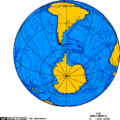
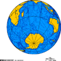
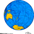
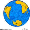
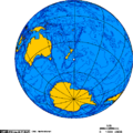
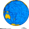
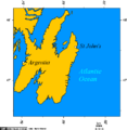
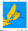
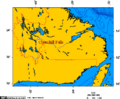
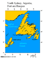
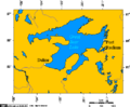
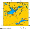
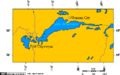
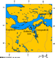
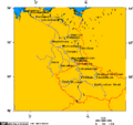
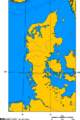
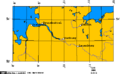
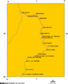
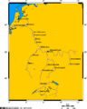
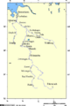
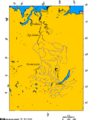
I have created one hundred or so maps, all using a free online map-making tool Other people make much better maps than mine. I'd be happy to get pointers. But for freely distributable maps that can be created very easily, this tool can't be beat.
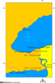
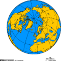

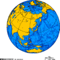
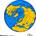
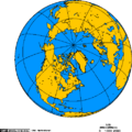
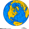
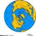
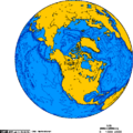
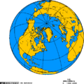
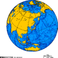
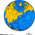
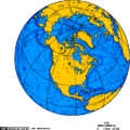
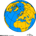
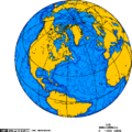
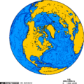
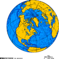
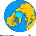
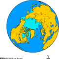

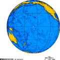
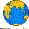

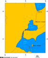
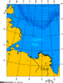
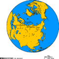
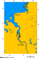
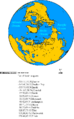
Image:Arctic Ocean Seaports.png
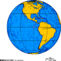
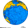
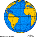
Image:Orthographic projection centred over St Peter and St Paul Rocks.png
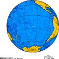
Image:Orthographic projection centred over Pitcairn Island.png
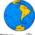
Image:Orthographic projection centred over Juan Fernandez.png
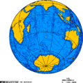
Image:Orthographic projection centred over Ile Amsterdam.png
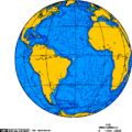
Image:Orthographic projection centred over Fernando de Noronha.png
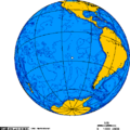
Image:Orthographic projection centred over Easter Island.pn
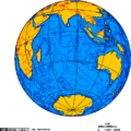
Image:Indian Ocean.png


Images from US Federal agencies
The work of employees of US Federal agencies, in performance of their duties, is in the public domain. One can find cool images there if one does a google image search confined to the ".mil" or ".gov". Not all images this turns up will be public domain. Some State agencies are also under the .gov domain. Photos may be the product of an employee of a firm which works, on contract, for the US Federal government. Those aren't PD. And neither, of course, are images that have a credit to a third party. US PD images