Jackson Creek (Toronto): Difference between revisions
Jump to navigation
Jump to search

George Swan (talk | contribs) (add image) |
George Swan (talk | contribs) ({{subpages}}) |
||
| Line 1: | Line 1: | ||
{{subpages}} | |||
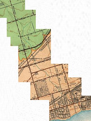
[[File:Jackson's Creek in Etobicoke, Ontario.jpg | thumb | left]] | [[File:Jackson's Creek in Etobicoke, Ontario.jpg | thumb | left]] | ||
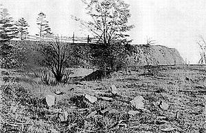
[[File:Mouth of Jackson Creek, Mimico, circa 1900.jpg|thumb|Mouth of Jackson Creek, circa 1900.]] | [[File:Mouth of Jackson Creek, Mimico, circa 1900.jpg|thumb|Mouth of Jackson Creek, circa 1900.]] | ||
Revision as of 21:43, 21 December 2023
Jackson Creek was a watercourse that flowed into Lake Ontario near 10th Street, in the Mimico region of Toronto, Ontario.[1] Its headwaters were approximately five kilometers northwest north of Bloor Street, near Highway 427.
References
- ↑ Citizens Concerned About the Future of the Etobicoke Waterfront. “This creek originally started near Bloor Street and emptied into Lake Ontario in this park at the foot of Tenth Street. It has been buried in a pipe for over 60 years.”

