File:Map-Latin America2.jpg: Difference between revisions
Jump to navigation
Jump to search
imported>Stephen Ewen (== Summary == {{Image notes |Description= Map showing the location of Latin America in the Western Hemisphere. The more lightly shaded areas are considered more culturally pert of the Caribbean. |Author=Stephen Ewen; Sean Baker |Date=26 Oct 2007 |Source=User:Stephen Ewen based upon http://en.wikipedia.org/wiki/Image:Western_Hemisphere_LamAz.png by Sean Baker. |Country first published in=USA |Copyright holder=Stephen Ewen; Sean Baker |Notes= |Other versions=}} == Licensing/Copyri...) |
(No difference)
|
Revision as of 03:00, 26 October 2007
File history
Click on a date/time to view the file as it appeared at that time.
| Date/Time | Thumbnail | Dimensions | User | Comment | |
|---|---|---|---|---|---|
| current | 19:56, 11 March 2022 | 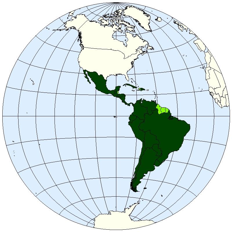 | 800 × 800 (235 KB) | Maintenance script (talk | contribs) | == Summary == Importing file |
You cannot overwrite this file.
File usage
The following page uses this file: