File:IrelandProvincesNumbered.png: Difference between revisions
Jump to navigation
Jump to search
imported>Anton Sweeney ({{ Information |Description= Map showing the provinces of the island of Ireland. |Source= http://en.wikipedia.org/wiki/Image:IrelandProvincesNumbered.png. |Date= [25th January, 2004] |Author= Not known. Available under GFDL |Permission= See licensing data below |other_versions= }}) |
(== Summary == Importing file) Tag: Server-side upload |
||
| (2 intermediate revisions by one other user not shown) | |||
| Line 1: | Line 1: | ||
== Summary == | == Summary == | ||
Importing file | |||
Latest revision as of 19:52, 11 March 2022
Summary
Importing file
File history
Click on a date/time to view the file as it appeared at that time.
| Date/Time | Thumbnail | Dimensions | User | Comment | |
|---|---|---|---|---|---|
| current | 19:52, 11 March 2022 | 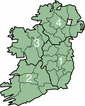 | 279 × 348 (18 KB) | Maintenance script (talk | contribs) | == Summary == Importing file |
You cannot overwrite this file.
File usage
The following 2 files are duplicates of this file (more details):
- File:IrelandProvincesNumbered.png from a shared repository
- File:IrelandProvincesNumbered.png from Wikimedia Commons
The following page uses this file: